
Zehao Xue
Hi, I'm Zehao. Full-stack developer, geologist, and photographer. I build web apps for geospatial data.
Hi, I'm Zehao. Full-stack developer, geologist, and photographer. I build web apps for geospatial data.
Hi, I'm Zehao! I'm a full-stack developer with a background in geology, based in Austin, TX. At the USGS I build and maintain the Coastal Change Hazards Portal, which provides coastal hazards data to coastal managers and communities.
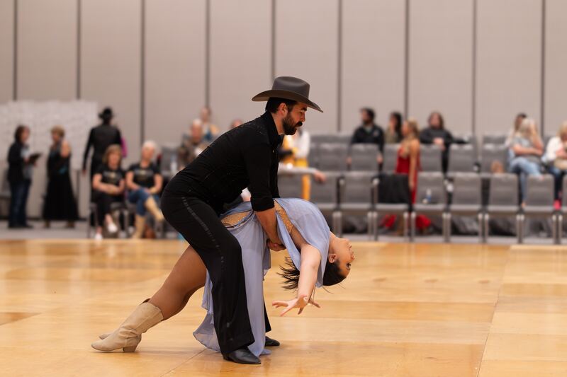
The rest of the time: photographing people, dancing, and traveling.
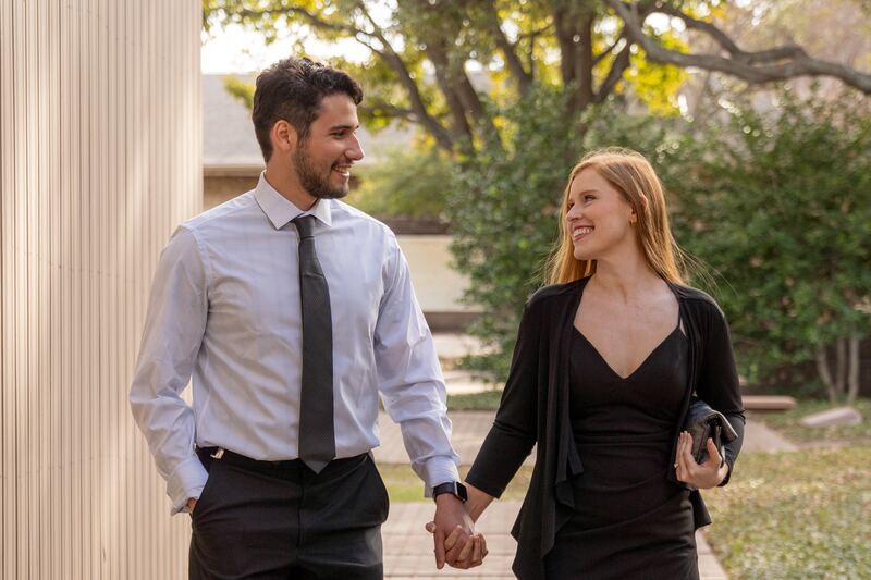
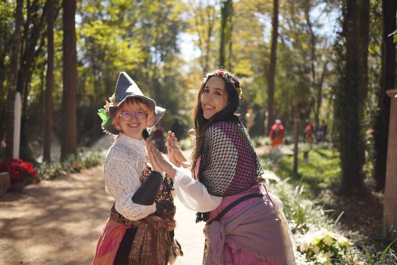
When I'm not at my desk, I take natural, colorful photos of people.
Portraits, couples, events, cosplay at conventions.

I build and maintain USGS's public portal for coastal hazards data used by coastal managers and planners nationwide.
marine.usgs.govAn interactive Leaflet map for exploring lidar- and satellite-derived shoreline position data and visualizing coastal change over time.
A custom web app built on TerriaMap and TerriaJS to visualize East Coast shoreline change data, with the catalog, styling, and default view tailored to that dataset.
A serverless re-implementation of the Coastal Change Hazards Portal's interface: same catalog, map tiles, and legends from the live USGS services, served from a static host with no backend of its own.
This website: a hand-built static hub, a photography portfolio with event pop-ups, and a serverless photo-album gallery on S3 + CloudFront with a phone-friendly uploader.
View on GitHubExperience, education, skills, awards, and publications.